The watch, issued at 3:40 p.m. by the National Weather Service, is in effect until 11 p.m. Friday. Among the counties covered by the watch are Westchester, Putnam, Dutchess, Rockland, Orange and Fairfield.
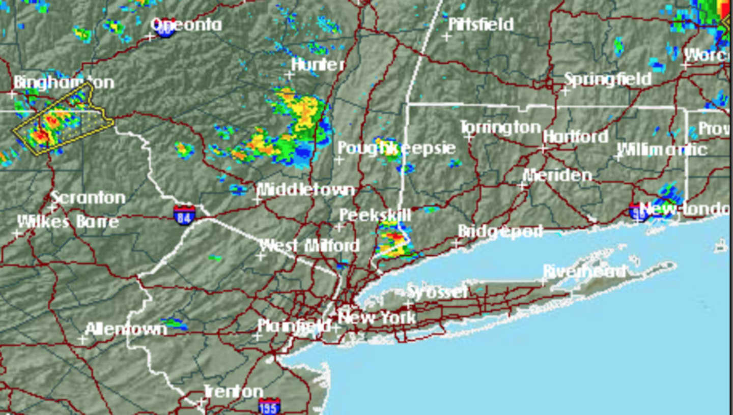
Isolated storms began to develop in the area in the mid-afternoon and are now moving eastward. (See radar image above.)
The storms, with heavy downpours, thunder, lightning and gusty winds, could cause flash flooding and travel delays.
The main threats will be damaging wind and locally heavy rainfall, although an isolated tornado and large hail are also possible, the National Weather Service said in a Hazardous Weather Statement.
Saturday will be cloudy with showers likely and a high in the low-80s. Thunderstorms are likely after 5 p.m., with the storm chance continuing until 3 a.m. Sunday.
Check back to Daily Voice for updates.
Click here to follow Daily Voice Harrison and receive free news updates.